Partner Article
Thomson environmental consultants win contract to map habitats on the south west coastline
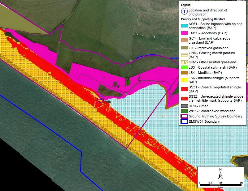
Thomson Environmental Consultants has been contracted by the South West Regional Coastal Monitoring Programme to undertake ecological mapping across two separate areas of coastline of south west England. The project will provide quality habitat data as part of high-level biodiversity reporting and monitoring requirements. Thomson first worked on this project in 2015 and is returning to deliver updated habitat mapping for the programme.
The Programme is managed on behalf of the South West Coastal Groups, in partnership with the maritime Local Authorities and the Environment Agency. It is funded by Defra, with Teignbridge District Council acting as the lead authority and has been providing a standard, repeatable and cost-effective method of monitoring the coastal environment in the South West since 2006.
The two areas of the south west coastline which Thomson will be mapping are:
Portland Bill, Dorset to Rame Head, Cornwall (292 km2) • Hartland Point, Devon to Gloucester (401 km2)
As part of the original project in 2015, Thomson developed a bespoke data handling methodology and mapped habitats using 2012-2014 aerial imagery. For this new contract, Thomson is generating a new habitat inventory using the latest 2017-18 aerial imagery and OpenStreetMap.
Neil Smith, Project Manager at Thomson Environmental Consultants said:
“We are delighted to be returning to work with the South West Regional Coastal Monitoring Programme on this fascinating project. The work will involve interpreting aerial imagery acquired during 2017/2018 and mapping habitats over two stretches of coastline, with a total area of 693km2. We will also be undertaking field surveys to spot check and validate the results of the mapping. The field surveys will be targeted towards areas where habitats cannot be interpreted confidently from aerial photography alone and areas which provide a good representation of priority habitats.
“The aim is to deliver quality assured GIS data, a technical report and field survey sheets that meet the rigorous biodiversity requirements set out by the Partnership. Analysis will also be undertaken based on the previous 2012-2014 habitat mapping to detect changes in the landscape over that time.”
Richard Rainbow, Drainage and Coastal Manager at Teignbridge District Council, who have contracted Thomson Environmental Consultants for this work, said:
“The monitoring programme is pleased to be working with Thomson again on this important piece of work. We are looking forward to seeing how the new habitat inventory compares to the previous work undertaken and aligns with our objective of understanding and contributing to the enhancement of the biodiversity along this important stretch of the south west coastline.”
This was posted in Bdaily's Members' News section by Thomson Ecology .
Enjoy the read? Get Bdaily delivered.
Sign up to receive our popular morning National email for free.
Our Partners


 Why local government is key to devolution success
 Your reputation is worth more than that invoice
 There is no perfect time when selling a business
 What next when social media career help goes?
 The psychological contract that nobody signs
 Time for strategy built on the foundational economy
 Why being ‘work-ready’ matters more than ever
 The North's future doesn't end at Manchester
 Exit or legacy? Why every owner needs a plan
 Who speaks up for SMEs when giants get bigger?
 The true value of HR in an AI-driven working world