Partner Article
How Space Data is Enabling Smart Transport
We’re sitting on the cusp of a major transport revolution.
Satellite technology has the ability to transform the communication of data, making it more reliable. Vehicles and infrastructure alike will reap the benefits!
What will be the impact of this? How are we currently using this technology? What are the potential uses that can push it even further?
Here’s a closer look at how space data is enabling smart transport.
**What is Smart Transport? ** Smart transport refers to an intelligent, integrated use of technology and management in transportation systems.
It aims to offer innovative solutions to current challenges, allowing users to travel more easily.
Space data, collected by satellites, has played a huge role in making this a possibility.
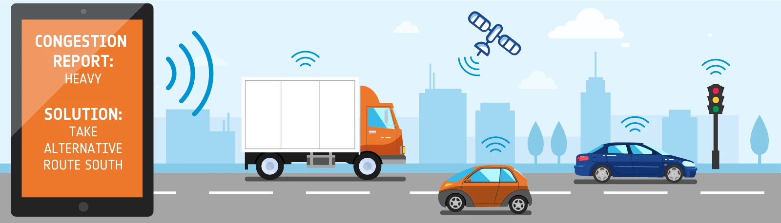
**What Can Space Data Do? ** Space data in the transport sector takes on a number of different forms. This includes:
• Speed sensors • Traffic and accident warnings • Live updates, such as positioning and congestion • Route planning • Temperature sensors
While this isn’t an exhaustive list, it gives an indication into the numerous ways in which satellite technology assists us in our day to day lives. It ensures space data is continuous, and can be used in remote areas.
**How is the Transport Sector Currently Using Satellite Technology? ** Unsurprisingly, we’re already using space data each and every day – often without even realising.
For example, automated transport uses satellite technology for communication. These self-driving vehicles also rely heavily on earth-orbiting satellites for navigation, as they produce imagery used for mapping.
But, how can we utilise this technology to its full potential?
**What Opportunities are There For Space Data in Transport? ** There are numerous ways in which space data can be used in the transport sector, both now and in the future.
**Congestion Aid ** Space data will assist us in managing traffic, as earth orbiting satellites will notify transport hubs. This will be highly useful if there’s an accident, or a specific period of heavy congestion.
**Delivery Drones ** Delivery drones are in our future! From fast food to fragile packages, these drones will be tracked to ensure all deliveries are successful.
Satellite technology will be essential for communication – ensuring there are no collisions. As well as this, GPS data will be utilised to help determine the exact delivery location.
**Ambulance Drones ** Deliveries won’t be the only use for drones. In the case of an accident, ambulance drones could be dispatched quickly – an ideal first responder.
Immediate and accurate transfer of data, enabled by satellites, will be vital for communication and navigation.
**Pollution Management ** To reduce pollution levels, certain ships will be instructed to wait at the port until quieter times.
This communication will come from GNSS (Global Navigation Satellite Systems), offering real time updates and accurate monitoring.
**Public Transport ** Space data is set to revolutionise public transport!
It will play a vital role in maintenance. For example, signals will be sent from a specific train carriage that requires assistance. These will be picked up by a transport hub and dealt with before the issue becomes a larger problem.
As well as this, our future timetables won’t look like they do today. Users will be able to send a signal detailing their exact location and required pick-up time. In response, the nearest vehicle will be diverted.
This will make travelling easier and more user-friendly.
This was posted in Bdaily's Members' News section by Charles .
Our Partners


 Creating the conditions for North East talent to thrive
 Why local government is key to devolution success
 Your reputation is worth more than that invoice
 There is no perfect time when selling a business
 What next when social media career help goes?
 The psychological contract that nobody signs
 Time for strategy built on the foundational economy
 Why being ‘work-ready’ matters more than ever
 The North's future doesn't end at Manchester
 Exit or legacy? Why every owner needs a plan
 Who speaks up for SMEs when giants get bigger?