Partner Article
Manchester scientists celebrate 30 years of environmental studies
Environmental consultancy APEM is celebrating three decades of aquatic science, aerial surveys and ornithology (the study of birds), by announcing the world’s biggest ever contract of its kind.
From its headquarters in Heaton Mersey, Stockport, it leads 120 staff in eight offices throughout the UK, as well as offices in Germany and the USA. It provides aquatic ecological services for water, power and engineering companies, national and local governments and even angling clubs, and is also a leading global provider of aerial digital surveys for the energy industry.
The world-first contract – which takes APEM past the £10 million annual turnover milestone, and which helped it win International Business of the Year at the recent Stockport Business Awards – is an aerial survey of a massive area of the Eastern Seaboard of the USA, off the coasts of North and South Carolina.
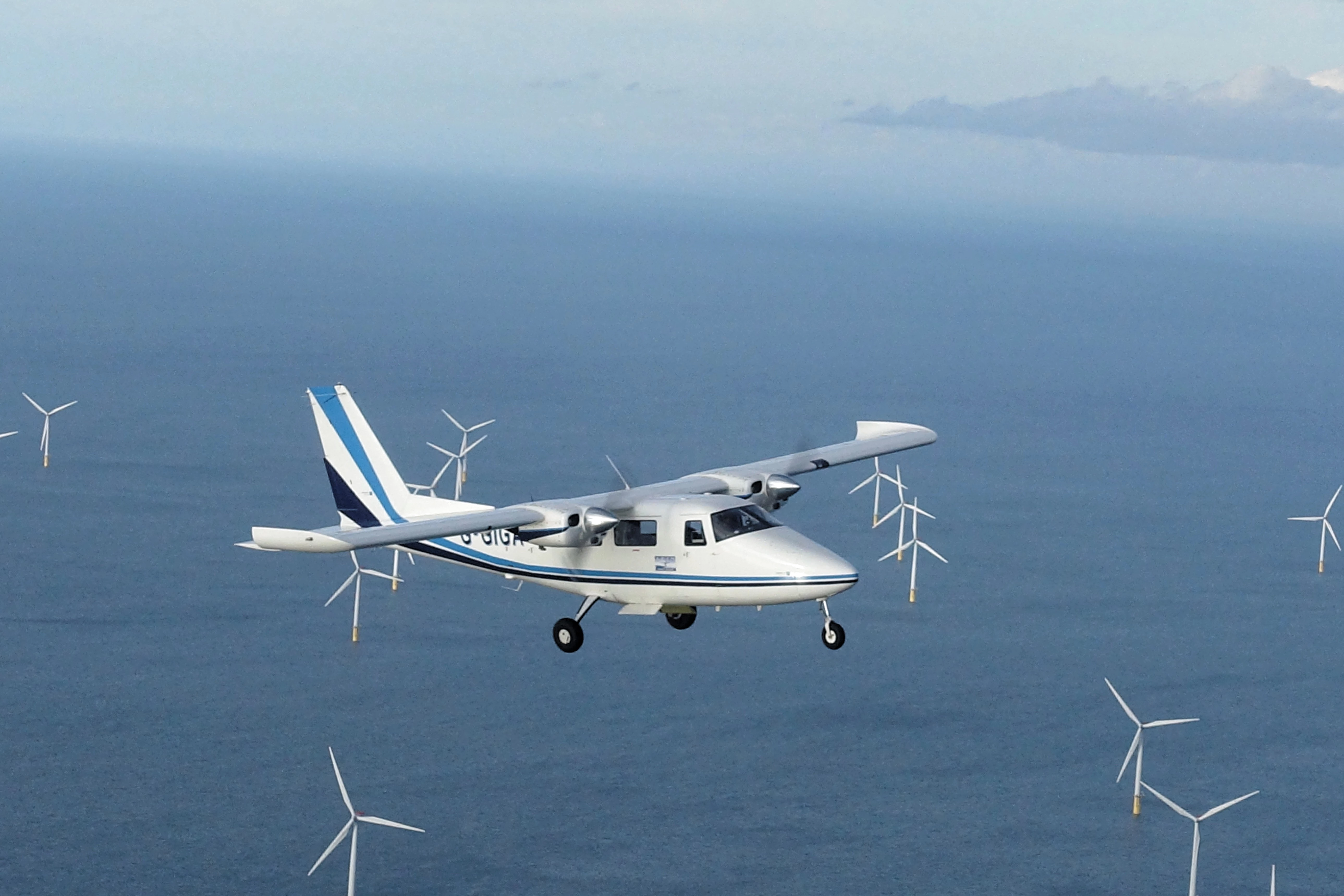
The new surveys are set to begin shortly, but since 2016 APEM has already been carrying out the world’s largest and most detailed digital aerial surveys of offshore wildlife off the coast of the New York state. The project will ultimately cover an area roughly twice the size of Wales and capture almost four million ultra-high resolution images, and is being delivered in partnership with US-based Normandeau Associates, Inc on behalf of the New York State Energy Research and Development Authority.
As well as offshore aerial wildlife surveys, APEM’s work also includes studying fish, sediment and water quality - in 2014, APEM worked with partner companies to ensure the water quality within Strathclyde Loch was safe for athletes competing in the Commonwealth Games. One of its first contracts in 1987 was working in partnership with Salford City Council to manage the water quality and ecology of Salford Quays. It is now of the longest running and most successful urban environment improvement programmes of its kind in the world.
The past decade has seen huge change and growth for APEM, which invested several million pounds in its first aircraft and cameras just over ten years ago. The twin-engine aircraft allowed APEM to carry out aerial surveys of rivers and water bodies. This led to an opportunity to provide offshore aerial surveys of birds and marine mammals for the emerging offshore wind energy market.
Today, APEM has a fleet of aircraft and has invested significant resources to develop its own bespoke camera systems: the Shearwater II and III. These are the global standard bearers for offshore aerial digital wildlife surveys, and much of the early development of the cutting-edge technology took place in Stockport and Chester.
The development of the aerial survey services has fuelled APEM’s international expansion; predominantly high-resolution aerial surveys for the offshore wind industry, utilities and the power sector.
Dr Stuart Clough, director at APEM, explains: “The past three decades have seen APEM undertake incredibly important projects, and the last ten years have really been an enormous transformation since the investment in our first aircraft, the development of our own camera systems, and the resulting international expansion. It enabled projects like our first aerial bird survey in the US on behalf of the US Navy, as well as a major project to map habitats on the Eastern Seaboard of the US. APEM is also now established in Germany, which is one of the most advanced offshore wind farm markets, where we have been working on monthly digital aerial surveys for seabirds and marine mammals since 2013.
“APEM is now working with all 11 water and wastewater utilities in the UK, and has carried out over 1,500 cutting-edge aerial surveys in the UK, Germany and the US. The last five years have seen contract wins in Germany, France, Ireland, Azerbaijan and the US, including Florida, Hawaii, New England, New York State, the Gulf of Mexico and North and South Carolina. We plan to keep innovating and trailblazing the latest scientific technology, such as hyperspectral aerial surveys, which collect and process information from across the electromagnetic spectrum in every single pixel of an image.”
This was posted in Bdaily's Members' News section by Lorna Kellett .
Our Partners


 Why local government is key to devolution success
 Your reputation is worth more than that invoice
 There is no perfect time when selling a business
 What next when social media career help goes?
 The psychological contract that nobody signs
 Time for strategy built on the foundational economy
 Why being ‘work-ready’ matters more than ever
 The North's future doesn't end at Manchester
 Exit or legacy? Why every owner needs a plan
 Who speaks up for SMEs when giants get bigger?
 The true value of HR in an AI-driven working world
 What new business rates guidance means for pubs